The Current Home of COMaP
The Colorado Natural Heritage Program (CNHP) and the Geospatial Centroid at Colorado State University (CSU) are the current stewards of COMaP. CNHP connects science with conservation to help protect Colorado’s rare plants and animals. The Centroid coordinates geospatial activities at CSU. Through this partnership, CNHP provides technical expertise in GIS and IT, while the Centroid manages internships and outreach.
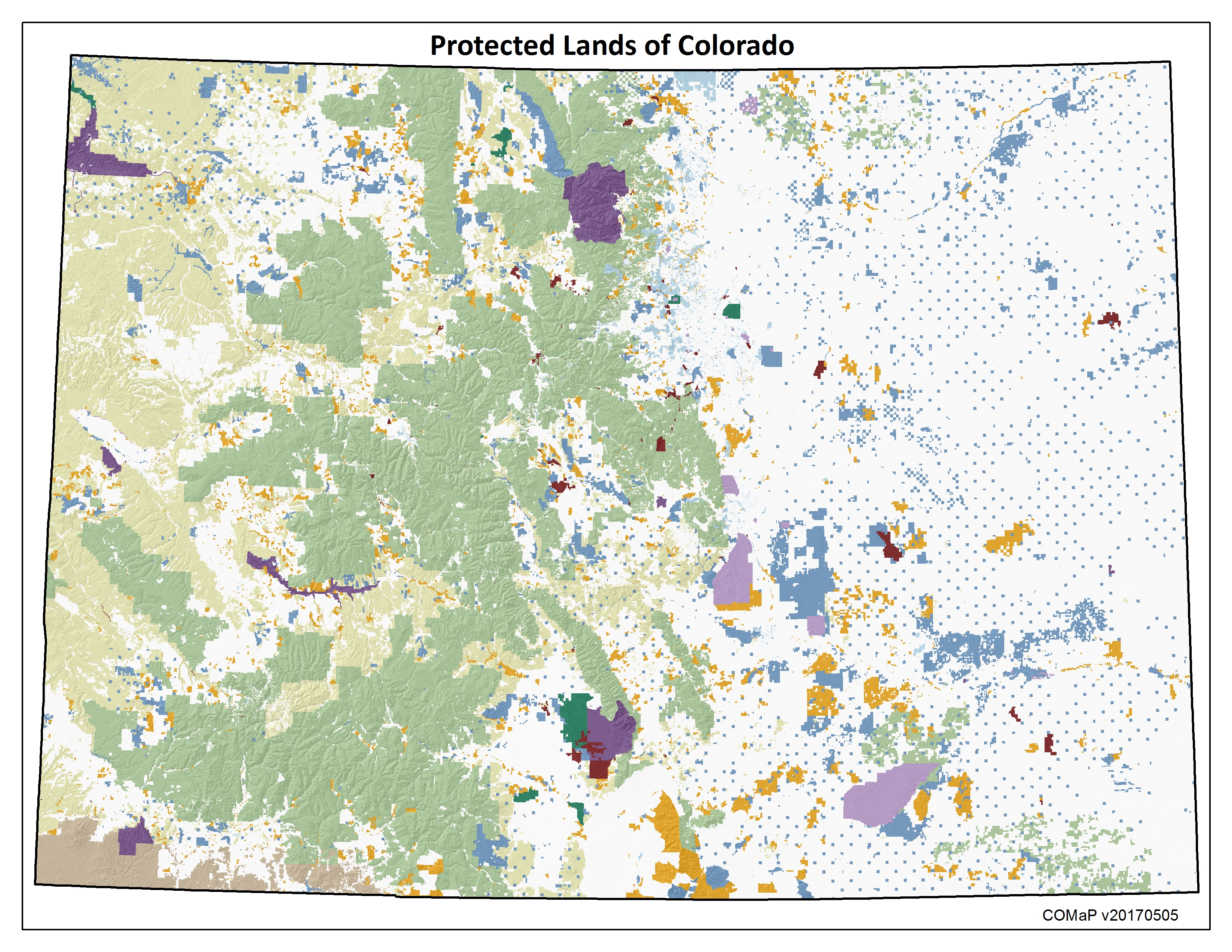
COMaP is the state’s premier map of protected lands, featuring over 28,000 entries of protected lands parcels from over 300 different data sources, each of which contains a suite of attributes such as owner, manager, easement holder, public access, and more. Since its inception in 2004 at Colorado State University, COMaP has become the go-to resource for land managers, land owners, and the conservation community.
The new COMaP has significantly updated public lands and private conservation easement lands compared to previous versions. To see the latest changes please check the Update Log.
Subscription Services (SUSPENDED in 2019 - registration is currently FREE)
Subscriptions are renewed annually and begin as soon as payment is received. Users subscribe at an organization level. All users at an organization are eligible to use the service. The primary registered user is responsible for payment and approving other users within their organization.
Benefits Include:
- Access to the latest protected lands data through an online map
- Use the interactive map to view and identify protected lands, query the map and download spreadsheets, overlay your files (kml or shp) or add comments and draw polygons on the areas you know best.
- This is especially useful for non-GIS users.
- Access to a suite of data files from the data download center
- Download the geodatabase and layer files to build your own maps and custom analyses, or serve the COMaP map service from your website.
- This is especially useful for GIS users.
Use COMaP For:
Conservation planning/analyses * tourism and promotion * land acquisition/land exchanges * appraisals and land values * Threatened and Endangered species surveys * return on investments * site assessments * priority habitat identification * conservation easement baseline reports * optimization tool support * emergency services * cultural and historic preservation planning * long-range strategic planning * developing management goals * identifying partnerships * identifying linkages and corridors * permitting * risk management * decision support * wildland fire mitigations * future water supply options * planning for trails * outdoor recreational planning * utility work * grant writing * stakeholder identification * conflict avoidance * and more ...
Explore COMaP in action in the recent report, Investing In Colorado: Return on Investments in Conservation Easements.
Users agree to abide by the Terms of Use.


